Blackland TX · Historic maps
Kerens
The land before the town
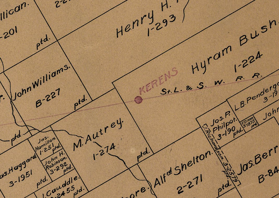
Kerens sits on the Cotton Belt line on the Hyram Bush grant, with the Autrey, Williams and Haggard grants to the west. The names are the original land grants, as the General Land Office drew them in 1924. The whole county map →
1921
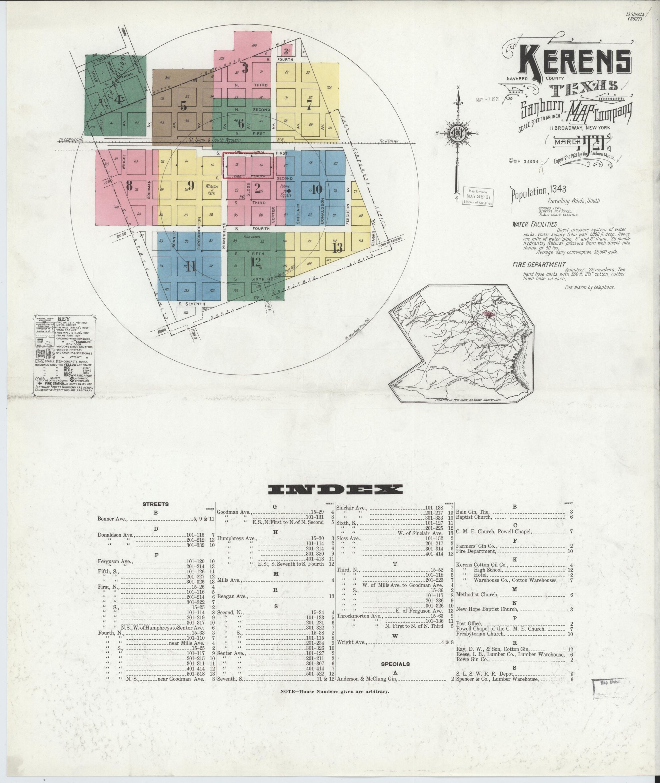
Population 1,343
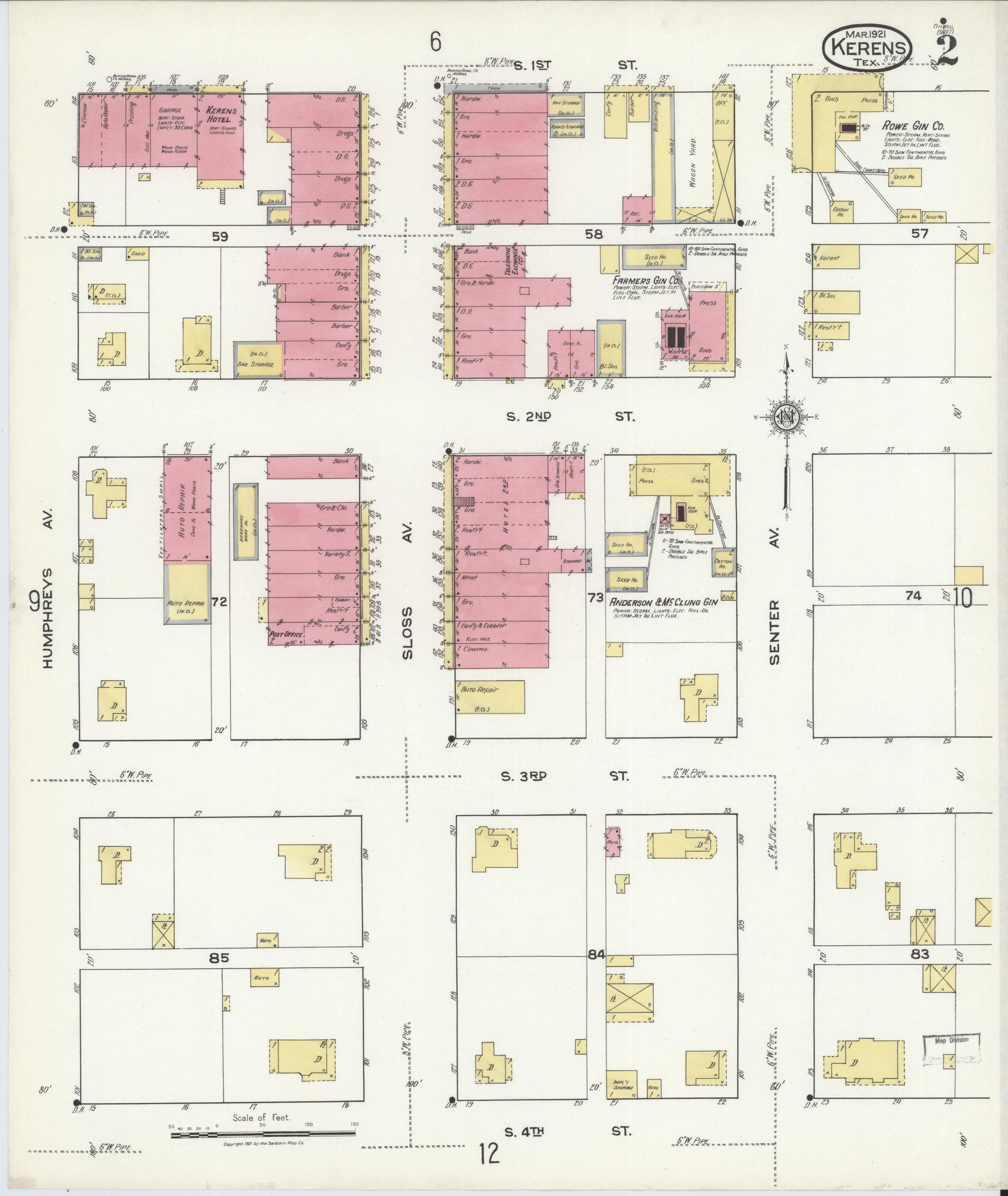
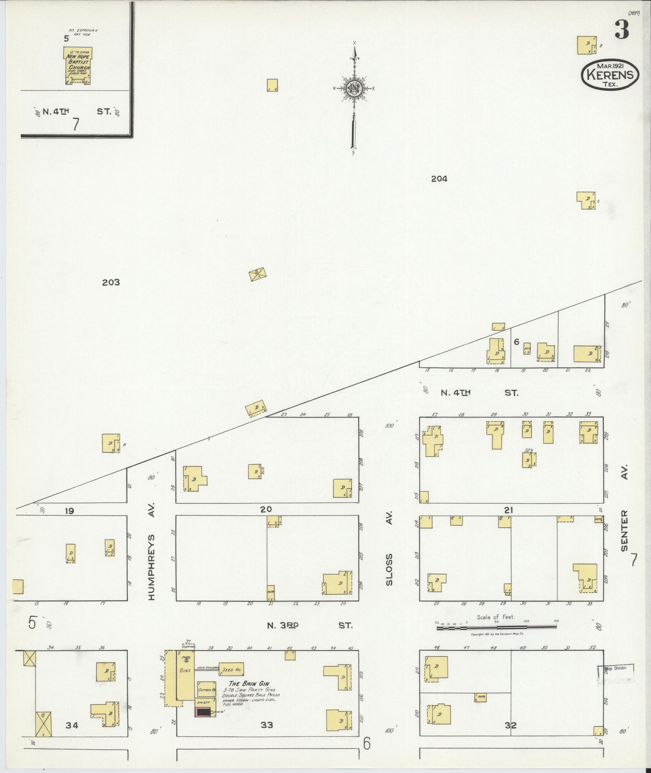
One edition, thirteen sheets. Water from a deep well, about a mile of mains and 20 double hydrants; a volunteer fire department of 25 men with two hand hose carts, alarm by telephone. The index names four gins (Anderson & McClung, the Bain Gin, D. W. Ray & Son, Rowe Gin Co.) and Farmers' Gin Co., Kerens Cotton Oil Co., two lumber warehouses, the Kerens Hotel and High School, the post office, and Baptist, Methodist, Presbyterian, New Hope Baptist and Powell Chapel C.M.E. churches.
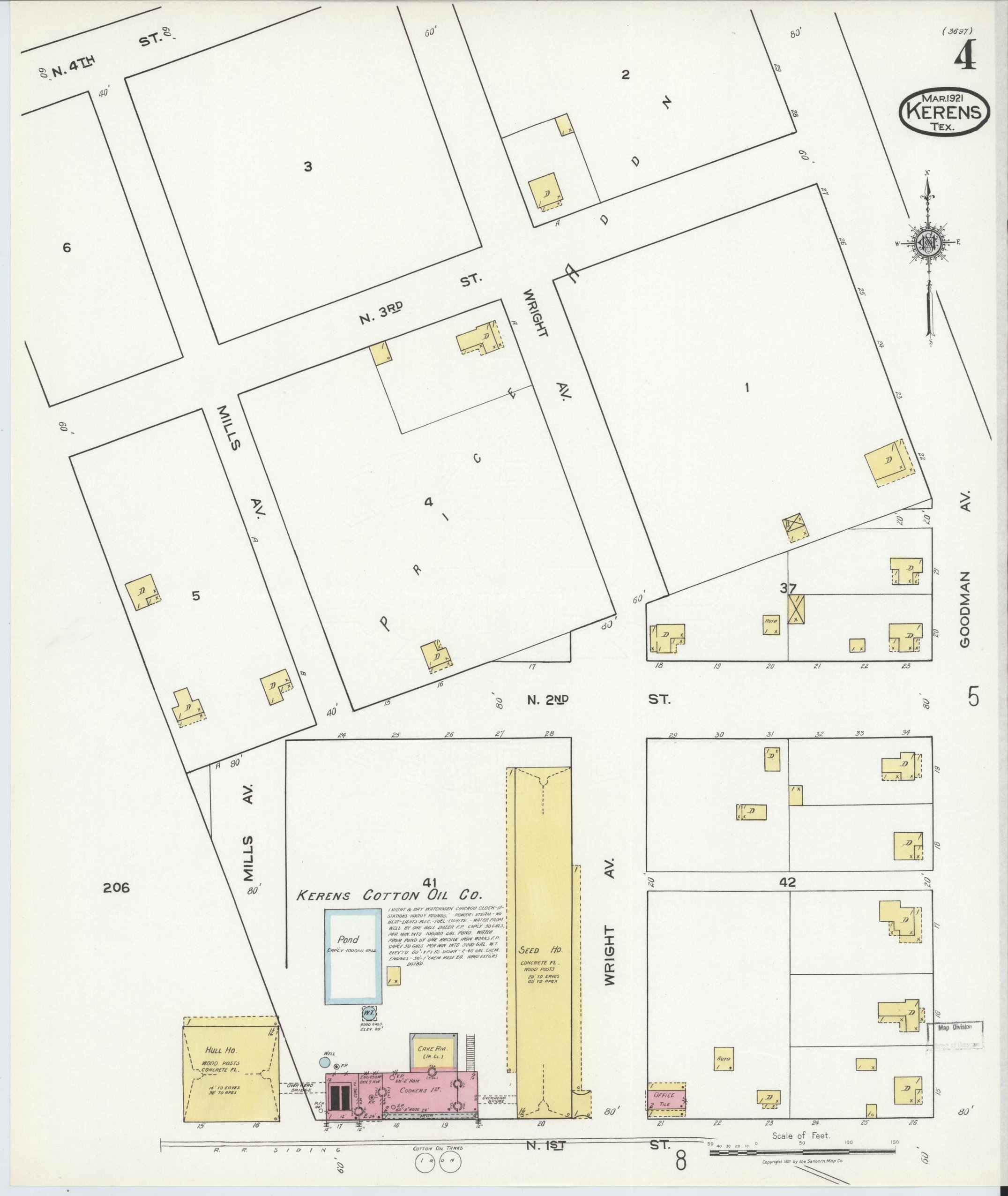
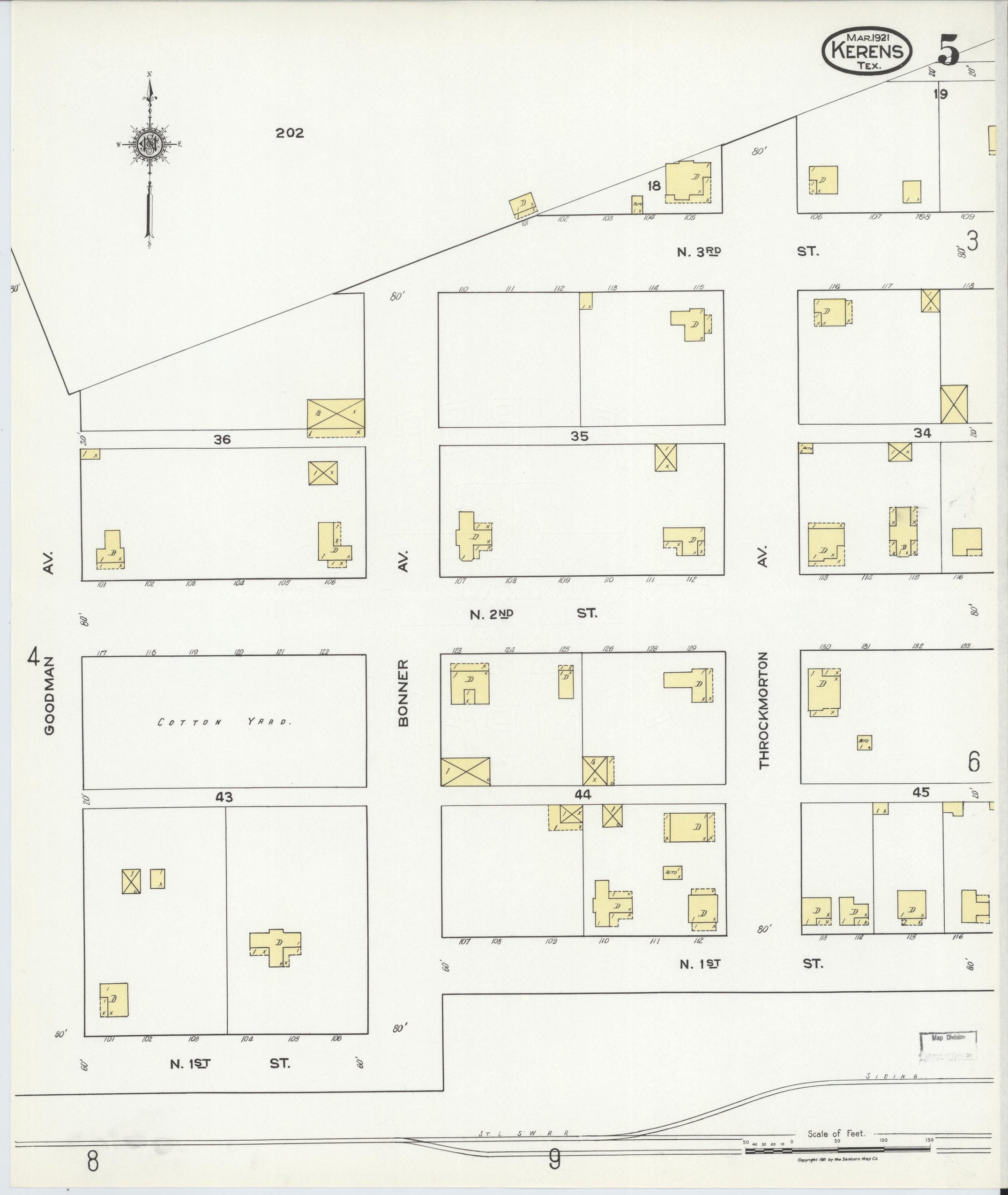
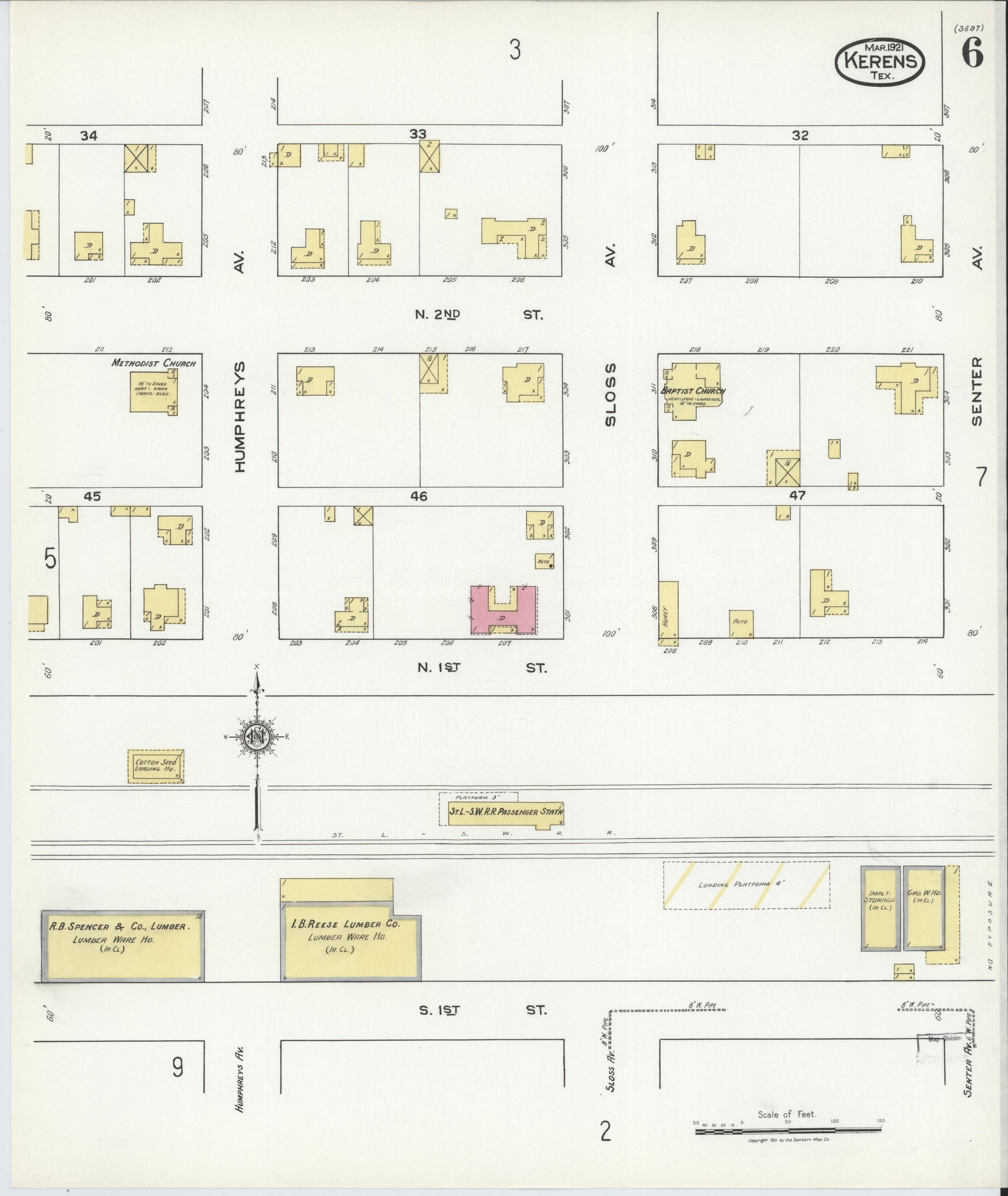
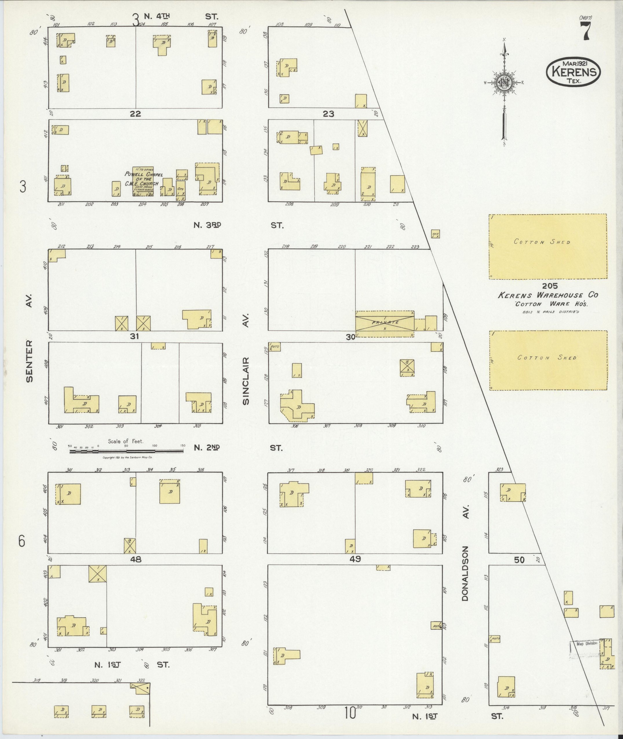
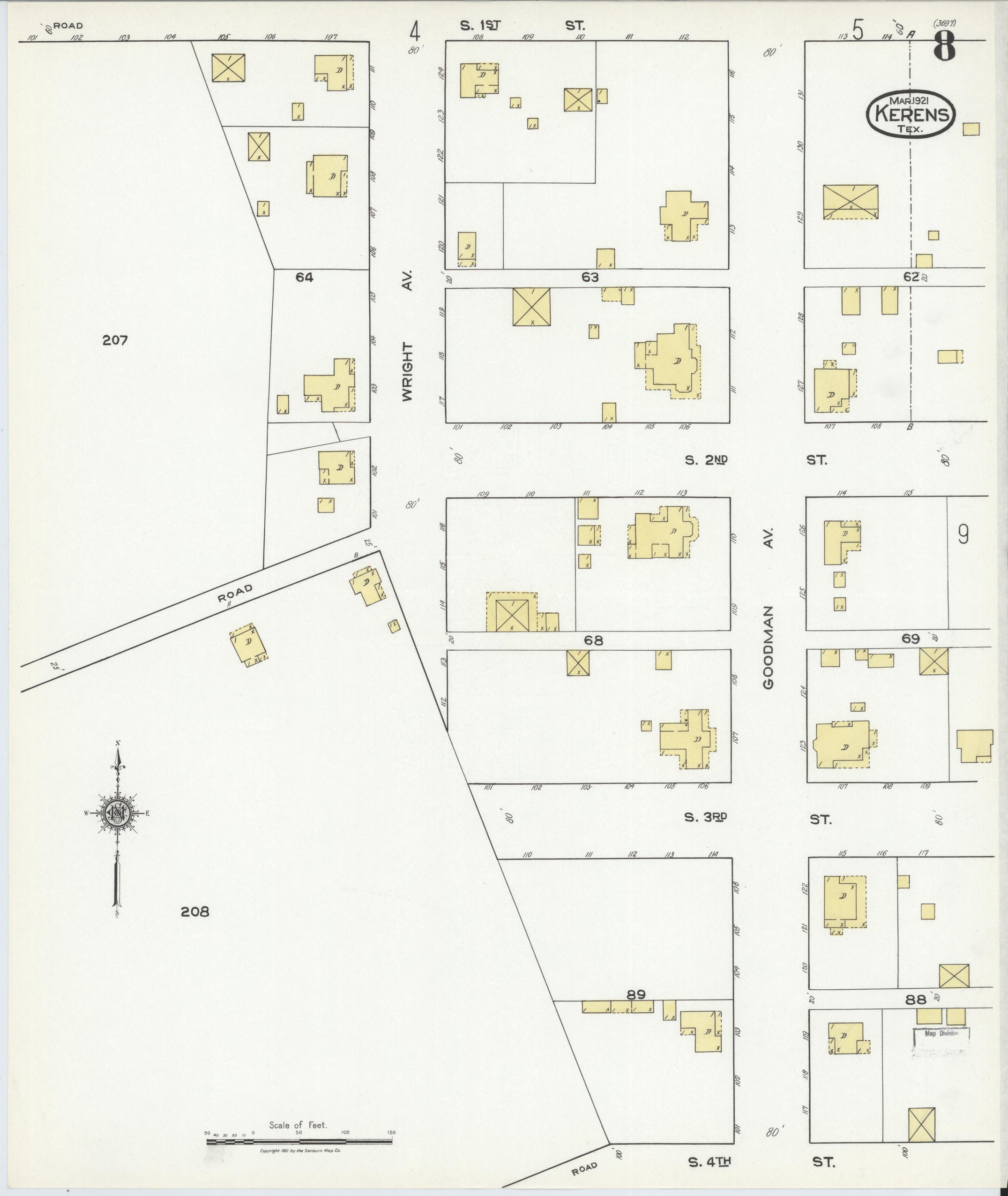
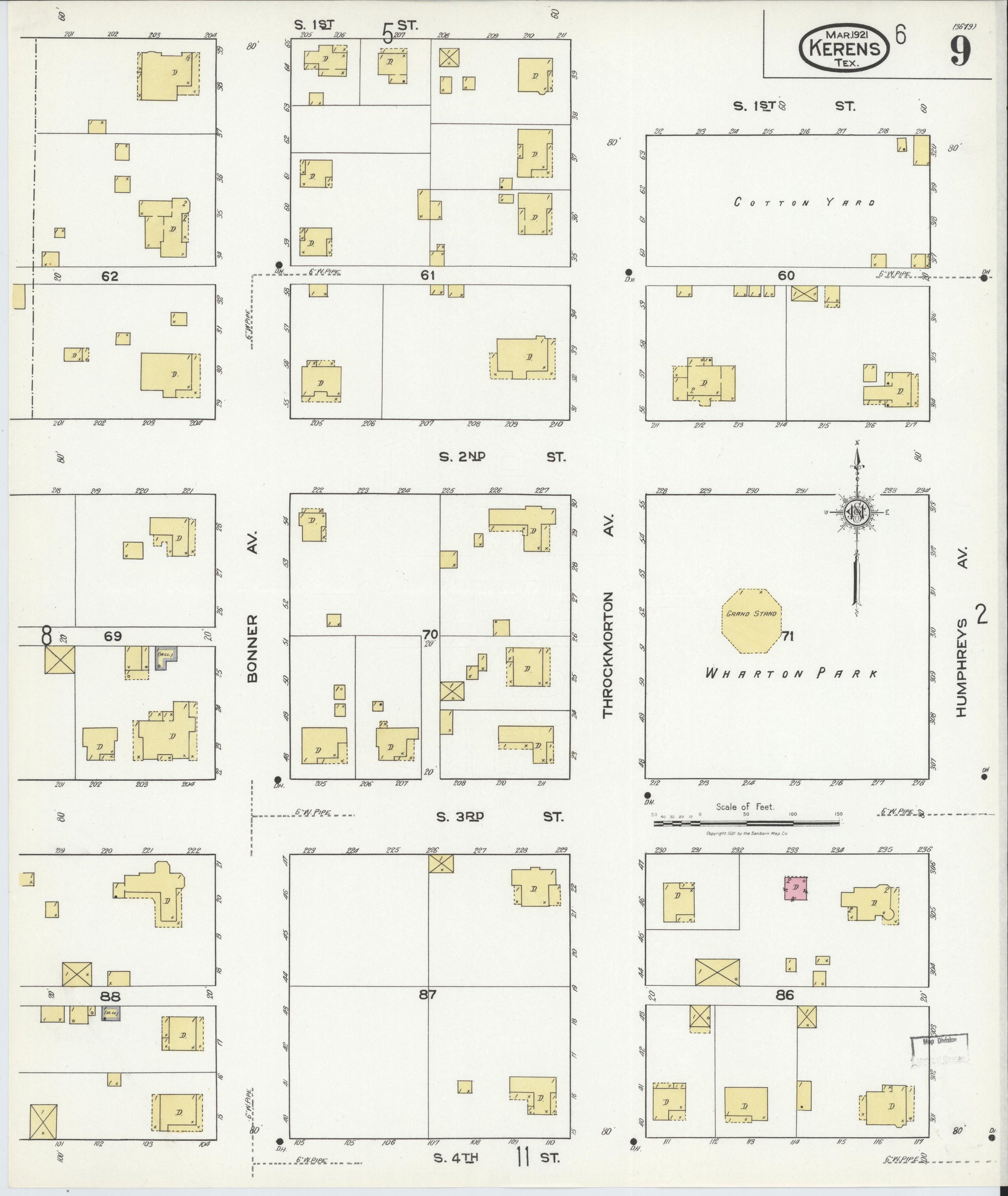
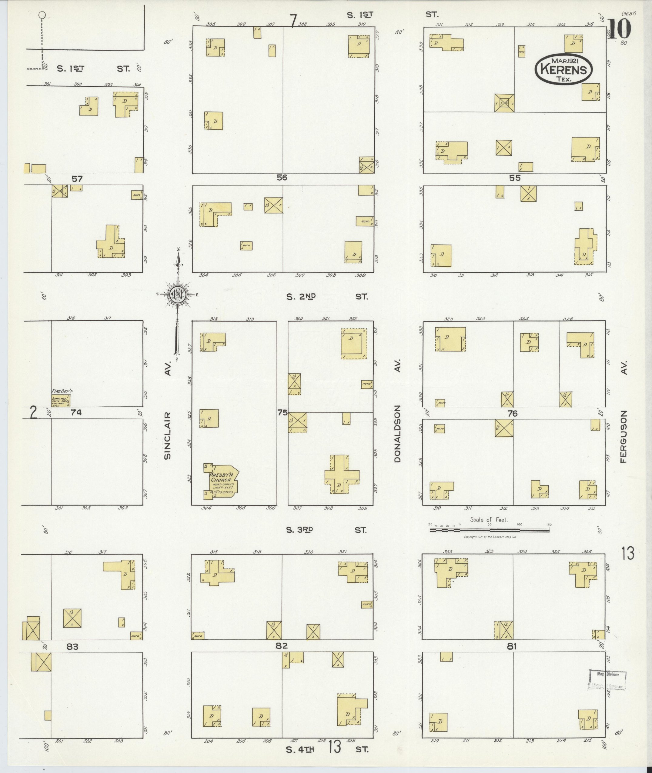
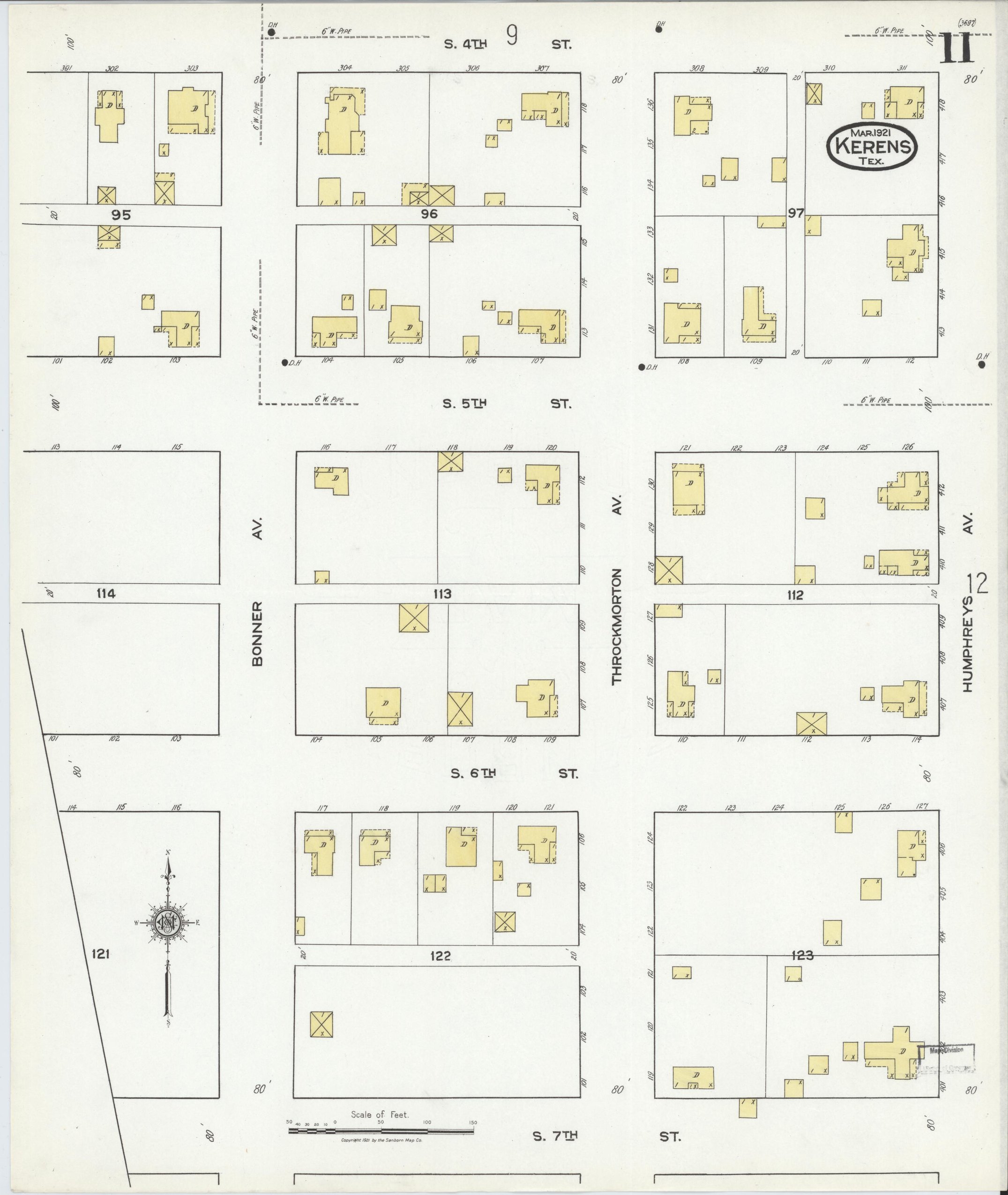
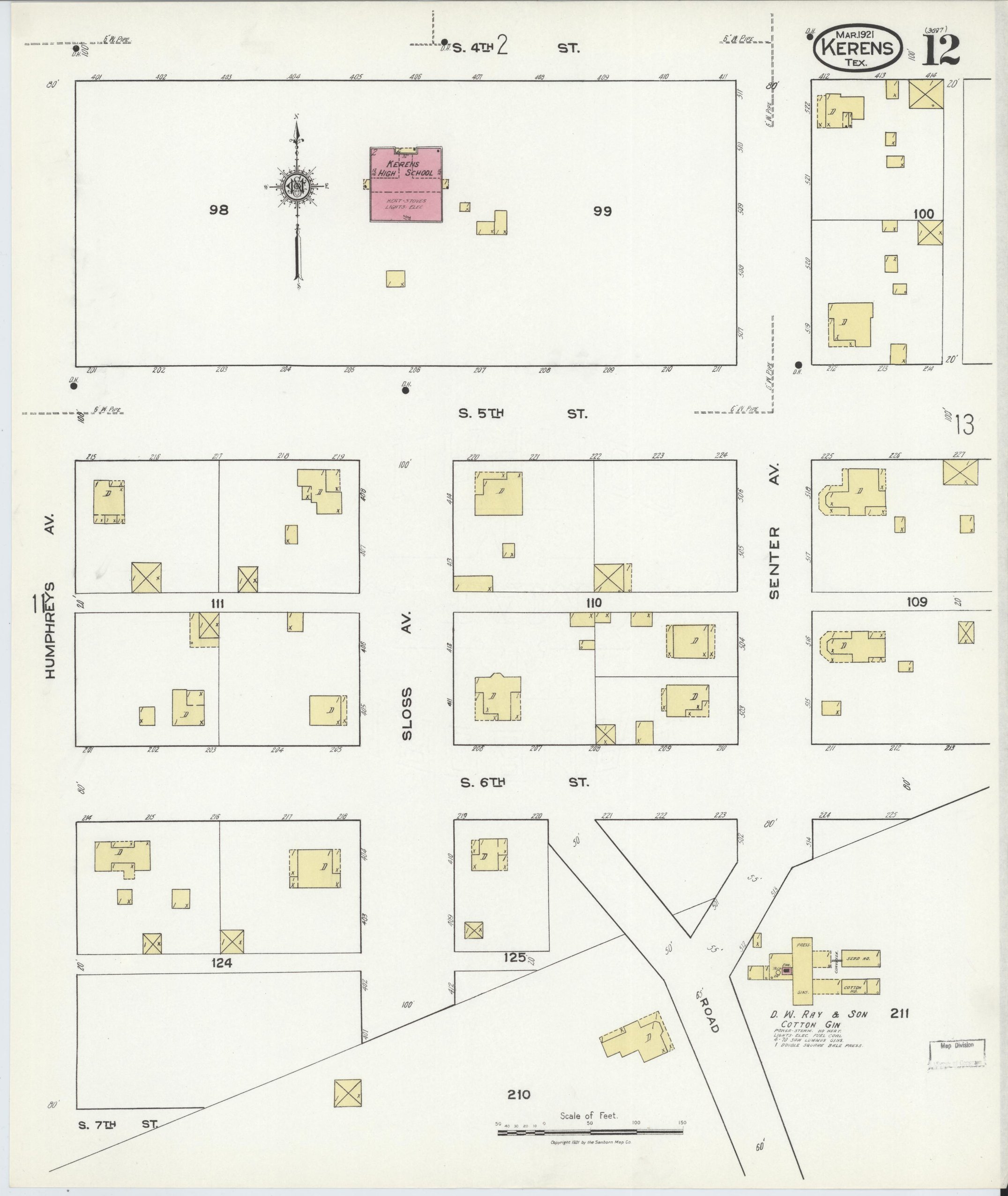
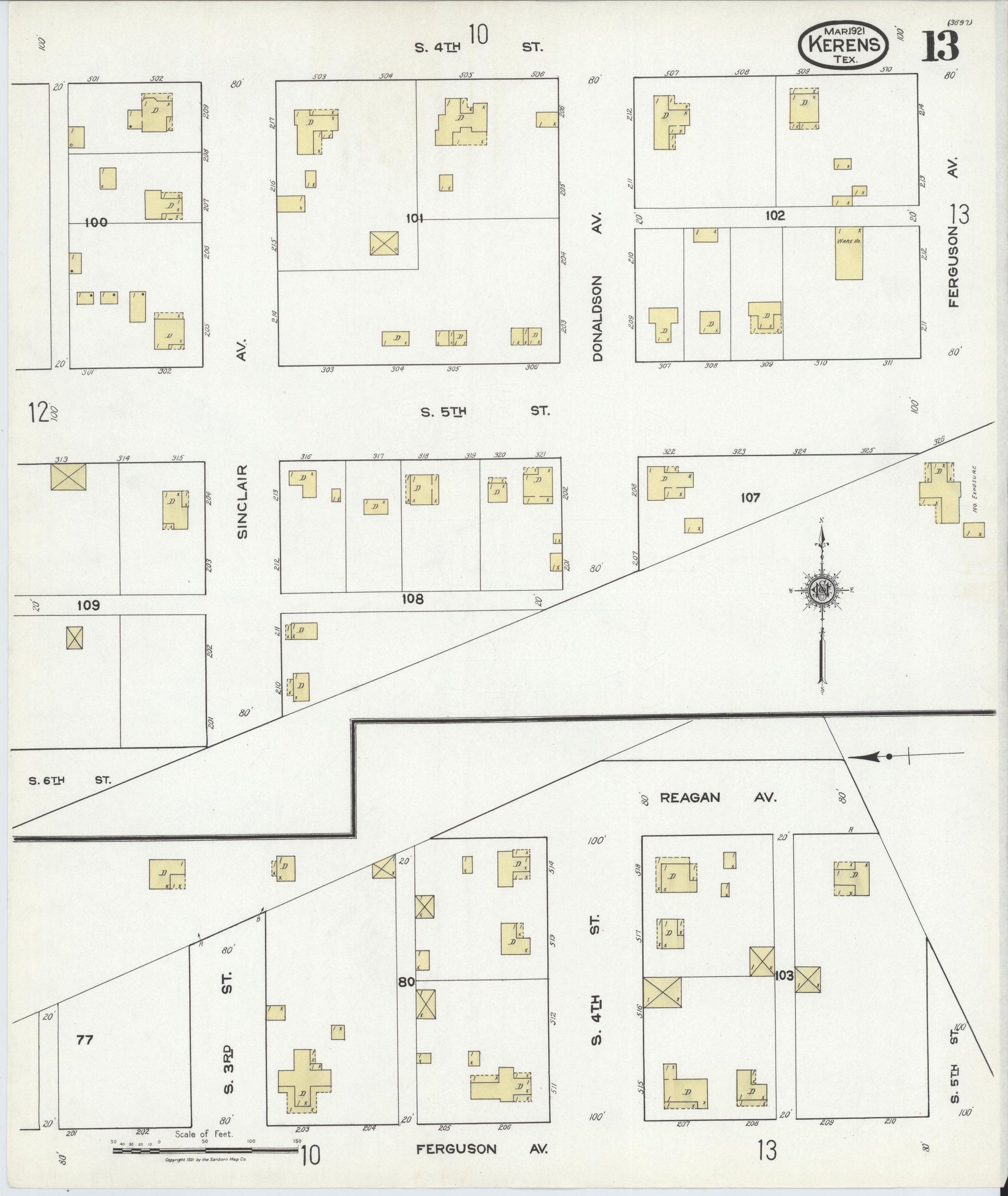
Maps from the Library of Congress, Sanborn Fire Insurance Map Collection. Public domain. Land grant map: Courtesy of the Texas General Land Office, Austin. Map 73249, Navarro County, July 1924. Used under licence.